Topographical Land Surveys
Our Topographical Survey services are used to accurately map the natural and built features of a site, including the ground’s contours and levels. They provide precise positioning data for features both on and around the area being surveyed, such as:
- Trees
- Buildings
- Pathways
- Roads
- Gullies
- Manholes
- Utility poles
- Boundary walls
These types of topographical surveys are widely used for applications including:
- Boundary identification
- Building positioning
- Property transactions
- Planning applications
- Construction projects
Survey data can also be delivered in 3D format for integration into BIM systems, supporting the efficient management and coordination of building and infrastructure developments.
At CD Surveys Ltd, all topographical land surveys are carried out in accordance with recognised industry standards, including the ‘Topographical Survey Specifications’ set by the Royal Institution of Chartered Surveyors (RICS), the Land Surveyors and Architects (LSA), and the Manual of Contract Documents for Highway Works, Volume 5, Section 1, issued by the Highways Agency and Department for Transport.
Here at CD Surveys Ltd, we are also a proud member of the TSA (The Survey Association), with our Chairman, David Watterston, serving on the Board of Directors. To learn more about topographical land surveys and the types of services we provide, please contact us today or visit the TSA website below.

FAQs
A topographical survey shows the natural and man-made features of a site, along with the ground levels and contours.
It accurately maps details such as buildings, roads, pathways, trees, walls, manholes, drainage systems and utility features, providing a clear representation of the land for planning, design and construction purposes.
A topographical survey is usually presented as a detailed 2D or 3D drawing that maps the features and levels of a site. It typically includes contours, spot heights, buildings, boundaries, roads, trees, drainage systems and other visible features, all plotted to scale using precise survey data. The final survey can be supplied in digital CAD, PDF or BIM-compatible formats depending on the project requirements.
A topographical land survey provides accurate information about the land, levels and existing features of a site before planning or construction work begins. It helps architects, engineers and developers make informed decisions, reduce risks, avoid costly errors and ensure designs fit the existing environment.
Topographical surveys are commonly required for planning applications, property development, infrastructure projects and boundary assessments.
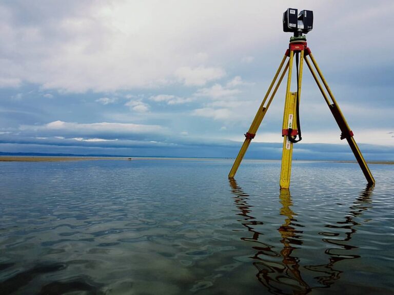
A topographical land survey is carried out using advanced surveying equipment such as GPS, total stations and laser scanners to capture accurate measurements of a site.
Surveyors record the positions, levels and dimensions of natural and built features, including buildings, roads, trees, drainage systems and boundaries. The collected data is then processed into detailed drawings or 3D models for use in planning, design and construction projects.
LAND SURVEYING SERVICES
Professional Land Surveying Services You Need
why choose us
We are Professional Land Surveyors

Client Satisfaction
We aim to give 100% satisfaction

Our Vision & Mission
Surveying is our passion