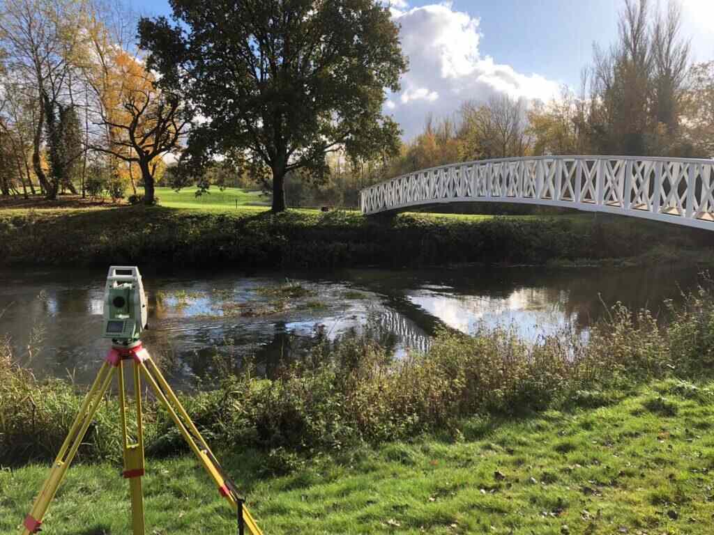
Long and Cross Sections
Provision of long and cross sections from ditch or river surveys can be supplied, ideally sourced from a detailed digital terrain model (DTM) of the site. This topographical data is essential for accurately representing the physical characteristics of the survey area. When derived from a high-resolution DTM, these sections provide precise information on the terrain’s elevation and contours.
Integrating this data into hydraulic models allows for accurate simulations of water movement and behaviour within the surveyed area. These models can use the detailed topographical information to perform complex calculations of flows and volumes. This is invaluable for predicting water behaviour under various conditions, such as different rainfall levels or potential flood events.
Additionally, this information aids in better planning and management of water resources, helping to design effective flood defences, optimise irrigation practices, and improve stormwater management in urban areas. Overall, detailed long and cross sections from DTMs are crucial for studying and managing hydraulic systems effectively.
Contact Us at CD Surveys for long and cross sections in professional land surveying!
LAND SURVEYING SERVICES
Professional Land Surveying Services You Need
why choose us
We are Professional Land Surveyors

Client Satisfaction
We aim to give 100% satisfaction

Our Vision & Mission
Surveying is our passion