Surrey Office
Ashford, Kent Office
Email

Since its establishment in 1992, CD Surveys Ltd has solidified its position as a leading provider of comprehensive surveying solutions. Specialising in Land Surveying in Essex, we also offer tailored services in Topographical Surveys, Site Engineering, Measured Building Surveys, and Section 38/104/278 Adoption Surveys, complemented by advanced CAD Services.
Our core ethos, “Exceeding Expectations Every Time,” reflects our commitment to delivering outstanding service, maintaining the highest professional standards, and providing exceptional support long after a project is complete. At CD Surveys, we build lasting relationships based on trust, reliability, and expertise, backed by decades of experience delivering accurate, high-quality surveying services.


Land surveying in Essex is an essential first step in any construction or development project. It involves accurately measuring and mapping a site to provide the detailed information needed for design, planning, and informed decision-making. At CD Surveys Ltd, we provide comprehensive local land surveys across Essex and the surrounding areas, delivering accurate, reliable data tailored to the unique requirements of each project.
Using the latest surveying technology, including robotic total stations, GPS equipment, and laser scanners, our experienced team delivers accurate and detailed surveys in both 2D and 3D formats. Whether you’re planning a new development, resolving boundary issues, or assessing flood risks, our land surveying services in Essex provide the reliable data you need to make informed decisions and keep your project on track.
Simply click the link below and complete our brief online form. Our team is happy to assist you with your land surveying requirements in Essex, ensuring precision and satisfaction. Let’s make your vision a reality.
At CD Surveys Ltd, we are committed to delivering accurate results and exceptional customer service. From the initial consultation to final delivery, we take the time to understand your specific requirements and objectives. By combining advanced surveying technology with the expertise of our highly trained team, we provide reliable, precise data you can trust. Our efficient and tailored approach ensures every project is completed to the highest standard. If you’re looking for professional land surveying services in Essex, contact us today to discuss your requirements.
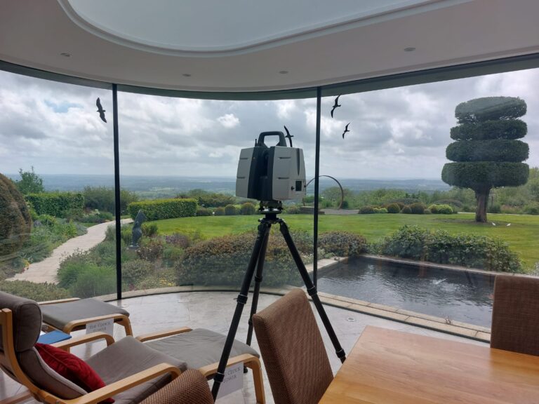
A topographical survey in Essex typically includes site boundaries, buildings, roads, trees, utilities, drainage systems, fences, and ground levels. The survey provides detailed, accurate data to support planning, design, and construction projects.
The duration of a topographical survey depends on the size and complexity of the site. Smaller surveys may be completed in a day, while larger or more detailed projects can take several days to survey and process.
A topographical survey maps physical features and ground levels on a site, while a boundary survey defines legal property lines.
Topographical surveys support design and planning, whereas boundary surveys help confirm ownership and resolve disputes.
In many cases, yes. A local land surveyors provides accurate site information needed for planning applications, helping architects and planners design proposals that meet local authority requirements and avoid issues during approval.
Choosing a local land surveyor in Essex ensures faster site visits, better understanding of regional planning requirements, and more efficient communication. Local expertise also helps deliver accurate, reliable results tailored to your project.
Utilise advanced satellite technology for precise positioning and mapping.
Accurately compute land or material volumes crucial for quarrying, mining, and construction endeavours, ensuring precision and efficiency in project planning and execution.
The Office
113 Church Street,
Staines Upon Thames,
TW18 4XZ