Who are CD Surveys?
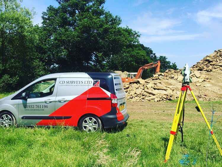
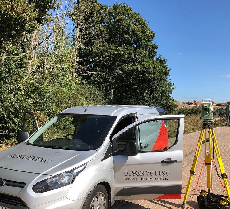
Established in 1992, CD Surveys Ltd is a trusted provider of comprehensive surveying solutions in Surrey. We specialise in Measured Building Surveys, Section 38/104/278 Adoption Surveys, Site Engineering, Drone Surveys, and Topographical Surveys, consistently delivering precision and excellence.
At CD Surveys, we build long-term relationships with our clients by continuously delivering high-quality and trustworthy services.
What is Land Surveying and Why Do You Need It?
Land surveying is an essential first step in any construction or development project. It involves the detailed assessment and mapping of land to provide accurate data that informs design, planning, and decision-making processes. At CD Surveys Ltd, we specialise in performing comprehensive land surveying services in Surrey, UK and beyond, catering to the unique requirements of each client.
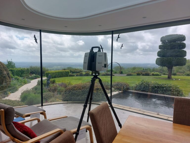
Utilising the latest technology, including robotic theodolites, GPS units, and laser scanners, our skilled team delivers precise and detailed surveys in both 2D and 3D formats. Whether you’re planning a new construction project, need to resolve boundary disputes, or are conducting a flood risk assessment, our land surveying services in Surrey, UK, ensure you have the foundational data necessary for a successful project.
Searching for Dedicated Land Surveyors in Surrey? Request a quote from CD Surveys Ltd today!
Simply click the link below to complete our brief online form. Our team is standing by to assist with any enquiries.
Our Process - Land Surveyors in Surrey
At CD Surveys Ltd, our process is designed to ensure the highest levels of accuracy and client satisfaction. From the initial consultation to the final delivery, we work closely with our clients to understand their specific needs and objectives. Our team adopts the latest surveying technology and methodologies, coupled with ongoing staff training, to produce precise and reliable data.
With a focus on efficiency and effectiveness, we deliver tailored surveying solutions that meet and exceed our clients’ expectations. From a simple land survey, to topographical surveying in Surrey, we tailor to all. To find out more about our services, why not get in touch?
Range of Services
Topographical Surveys:
Create detailed representations of the surface features of a site, essential for planning and design.
Detailed Highway Surveys:
Focus on the mapping of road layouts and conditions, crucial for infrastructure projects.
Long and Cross Sections:
Provide vertical and horizontal profiles of the land, supporting engineering and construction planning.
Flood Risk Assessment:
Assess potential flood hazards to inform development strategies and risk management.
OS GNSS and GPS Survey:
Utilise advanced satellite technology for precise positioning and mapping.
Contour Surveys:
Generate contour lines to depict the terrain’s shape and elevation, aiding in landscape and architectural designs.
Boundary Disputes:
Offer expert analysis and documentation to resolve property boundary issues.
Volume Calculations:
Calculate the volume of land or materials vital for quarrying, mining, and construction projects.
FAQs
The land survey timeline varies depending on the project. While small, simple sites usually take a few hours, larger, more complex sites may take days or weeks.
This duration is determined by the size, terrain, accessibility, detail required and type of survey needed.
We’ll provide a clear estimate on the timeline upon your project’s assessment.
Topographical surveys include a detailed, three-dimensional map of an area, showing all natural and man-made features.
It includes:
- Ground levels and contours (elevations and slopes).
- Physical features like buildings, fences, walls, trees and paths.
- Surface drainage and utility access (manholes and inspection covers).
- This data is essential for planning, design and construction. Visit our page on Topographical Surveys in Surrey to learn more.
A measured building survey produces detailed, accurate drawings of a building’s existing state.
This typically includes:
- Floor Plans: layouts of each level, showing walls, doors and windows.
- Elevations: external views of the buildings’ facades
- Sections: vertical ‘slices’ through the building, detailing floor and ceiling heights.
- Roof Plans: a top-down view of the roof structure and features.
The final deliverable is often provided as 2D CAD drawings or a 3D model/point cloud.
To learn more, visit our page on Measured Building Surveys.
Get In Touch
Ready to embark on your next land surveying in Surrey, UK, with the assurance of accurate and reliable land surveying data? Contact CD Surveys Ltd today. Our team of experts is ready to provide you with professional advice, support, and the high-quality surveying services you need to ensure the success of your project. Visit our website, call us, or email us to discuss your requirements and how we can assist you with your surveying needs.
Contact us
CD Surveys Ltd Land & Building Surveyors
Head Office
The Office
113 Church Street,
Staines Upon Thames,
TW18 4XZ